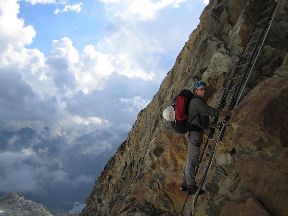
Approach to the Rifugio Gnifetti
2006
Climbing in the Southern Monte Rosa Group
- Approach to the Rifugio Gnifetti
- Ludwigshöhe, Parrotspitze, etc
- Zumsteinspitze and Signalkuppe
- Lyskamm ridge traverse and Castor

At 5am on Saturday morning I picked up Claus-Dieter. We then drove to Bad Tölz to fetch Rainer just after 6am. The drive to the south side of the Monte Rosa group took long, over 7 hours from Munich. The Alps were in the way and we had to drive around by going south via the Brenner Autobahn through Austria into Italy and then west past Milano. Finally, we headed north into the Gressoney valley to Gressoney la Trinite. I had forgotten to fill the gas tank while still on the highway and when we entered that small valley it became apparent that we had entered rural Italy since not only are there very few gas stations but they are also closed over lunch from about noon to 3pm. But even with an "empty" gas tank we still made it to the cable car station in Gressoney la Trinite.
Apparently, many climbers don't start their approach in the Gressoney valley but in Valagna Valsesia which is one valley to the east. There they take the gondola directly up to Punta Indren. We chose to start in Gressoney la Trinite because this has the advantage that at the end of the trip the descend from the Refugio Quintino Sella is much shorter and made easy by another gondola. A small disadvantage is that the hike up to the Refugio Gnifetti is a bit longer.
We gathered our gear and entered the cable car. Half way up, when we had to change cable cars, Rainer noticed that he had forgotten his fleece jacket. Fortunately, the gondola folks were nice and allowed him a free round trip back to the car to fetch it. In the meantime, Claus-Dieter and I enjoyed the views and some food at a little restaurant. After some more confusion, we finally arrived at the upper station. From there we headed toward Punta Indren, the starting point for folks approaching from Valagna Valsesia. From there it was about 2 hours of hiking to the Rifugio Gnifetti (3647 m), passing the Rifugio Mantova on the way. At the hut we checked in, had dinner, and went to bed.


