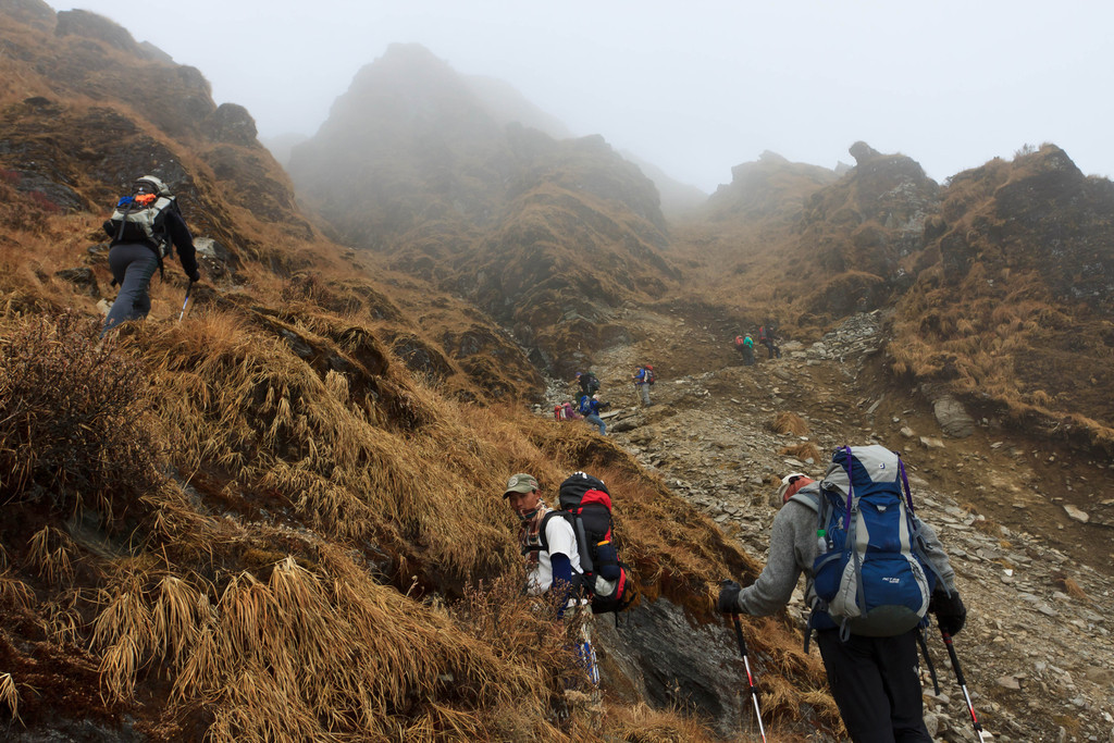
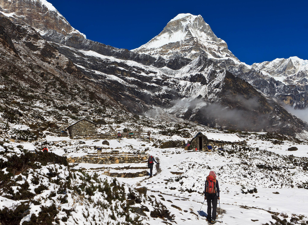
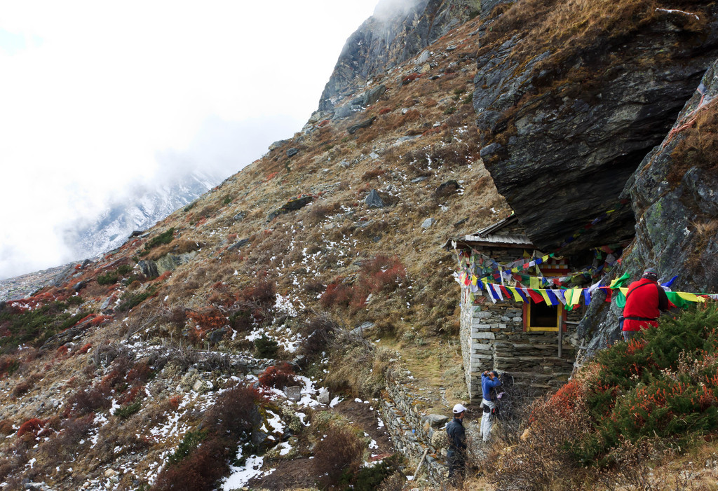
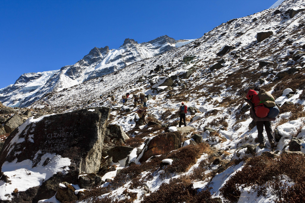
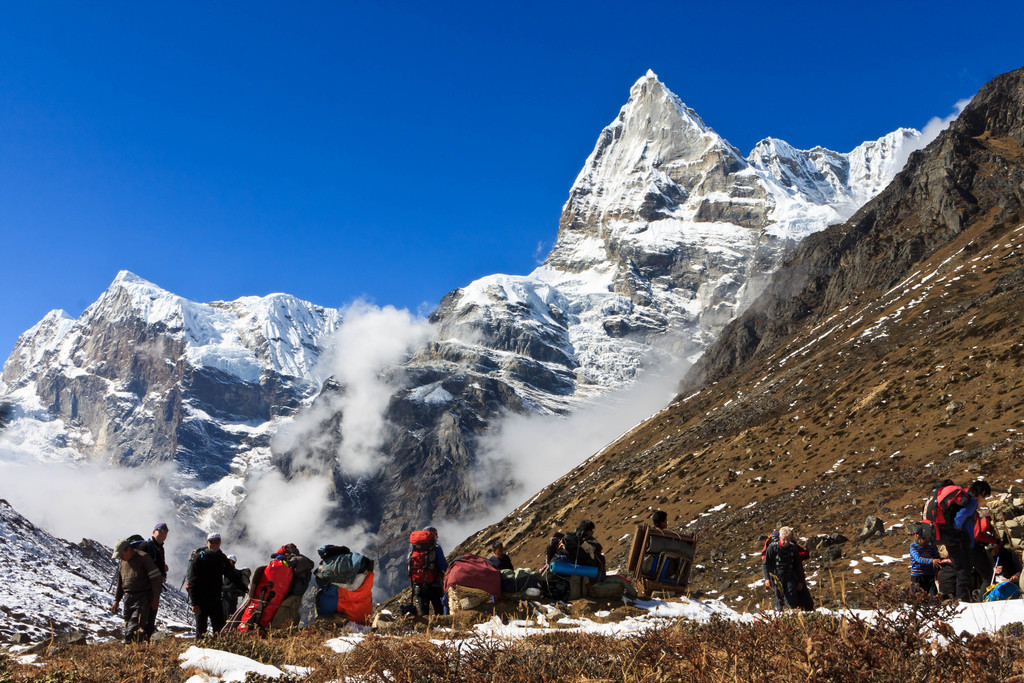
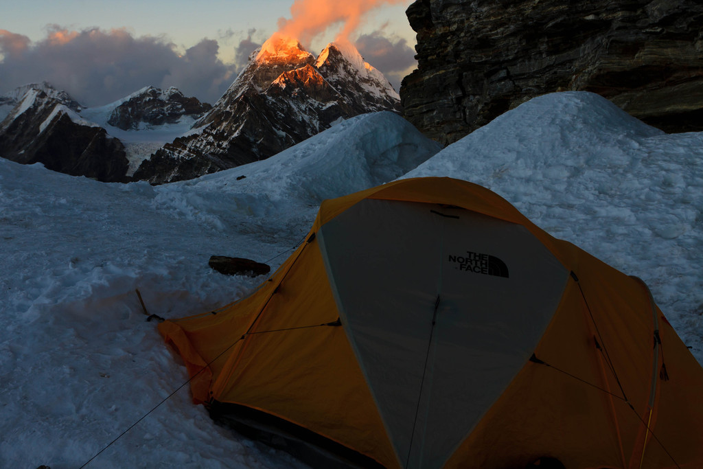
The first highlight was the climb of Mera Peak (21247 ft) after which we left the well-worn trekking route and
dropped east into the remote Hungku valley.
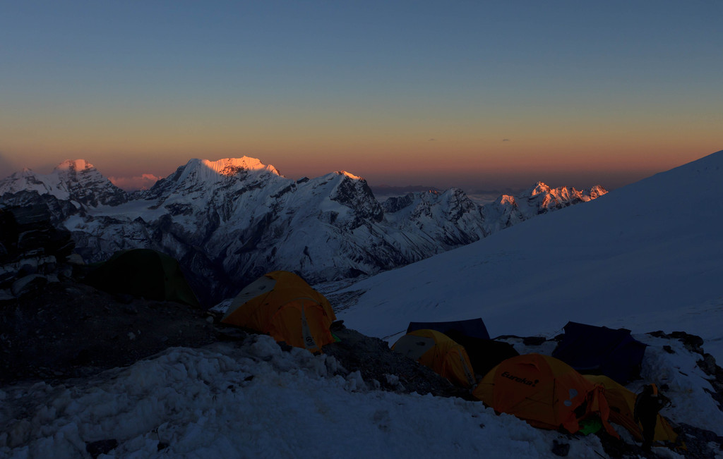
The Northwest face of Mera Peak (6476 m) seen from a point (about 4500 m) high above Tangnag in the Inkhu Khola valley. Mera La pass is to the left of the peak.Mountain panorama near Khare (4900 m)in the late afternoon. After arriving in Khare we did an acclimatization hike to the top of a nearby ridge (5210 m) from which the panorama was shot. One can see: Mera Peak (6476 m), Kyashar/Tangtse (6770 m), and Malangphulang (6573 m).
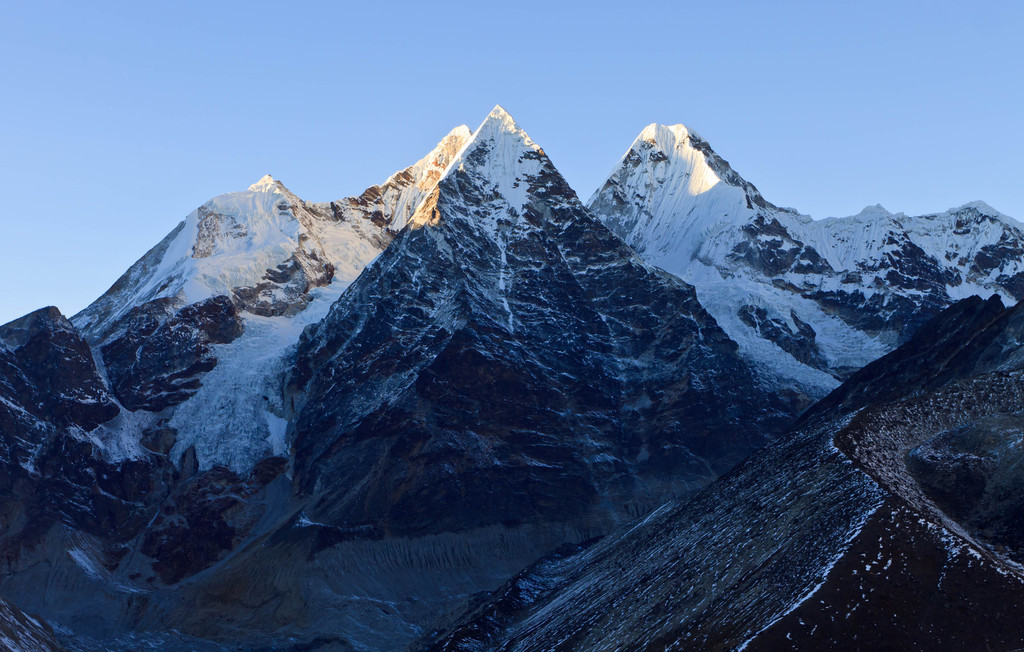
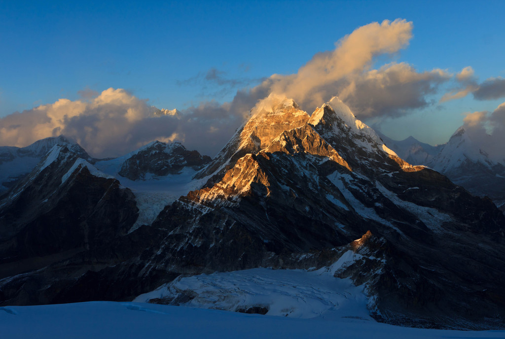
Mountain panorama near Mera La pass (5400 m). One can see: Mera Peak (6476 m), Kusum Khangkaru (6370 m), and Kyashar/Tangtse (6770 m).Panoramas from the north side of Mera Peak (6476 m) just before sunset. I summited late, about 16:30, and it was quickly getting dark as I descended. One can see: Peak 41 (6641 m) in the center, lit by the sun. Then Everest (8848 m), Lhotse (8516 m), Lhotse Shar (8382 m) peaking through the clouds. Also Makalu (8462 m) (partially in the clouds), and Chamlang (7321 m). (source: http://www.himalaya-info.org/mera_peak.htm)Panoramas from the north side of Mera Peak (6476 m) just before sunset. I summited late, about 16:30, and it was quickly getting dark as I descended. One can see: Peak 41 (6641 m) in the center, lit by the sun. Then Everest (8848 m), Lhotse (8516 m), Lhotse Shar (8382 m) peaking through the clouds. Also Makalu (8462 m) (partially in the clouds), and Chamlang (7321 m). (source: http://www.himalaya-info.org/mera_peak.htm)Mountain panorama from the summit of Mera Peak (6476 m) just before sunset. This was shot on Mera Central summit. Mera North summit is visible nearby. It is only about 15 m higher but since there is a bergschrund to cross I didn't want to do it by myself. One can see: Peak 41 (6641 m), Everest (8848 m) above the clouds, and Lhotse (8516 m). Also Makalu (8462 m) (above the clouds), and Chamlang (7321 m). (source: http://www.himalaya-info.org/mera_peak.htm)
 seen from a point (about 4500 m) high above Tangnag in the Inkhu Khola valley. Mera La pass is to the left of the peak.")
in the late afternoon. After arriving in Khare we did an acclimatization hike to the top of a nearby ridge (5210 m) from which the panorama was shot. One can see: Mera Peak (6476 m), Kyashar/Tangtse (6770 m), and Malangphulang (6573 m).")
. One can see: Mera Peak (6476 m), Kusum Khangkaru (6370 m), and Kyashar/Tangtse (6770 m).")
 just before sunset. I summited late, about 16:30, and it was quickly getting dark as I descended. One can see: Peak 41 (6641 m) in the center, lit by the sun. Then Everest (8848 m), Lhotse (8516 m), Lhotse Shar (8382 m) peaking through the clouds. Also Makalu (8462 m) (partially in the clouds), and Chamlang (7321 m). (source: http://www.himalaya-info.org/mera_peak.htm)")
 just before sunset. I summited late, about 16:30, and it was quickly getting dark as I descended. One can see: Peak 41 (6641 m) in the center, lit by the sun. Then Everest (8848 m), Lhotse (8516 m), Lhotse Shar (8382 m) peaking through the clouds. Also Makalu (8462 m) (partially in the clouds), and Chamlang (7321 m). (source: http://www.himalaya-info.org/mera_peak.htm)")
 just before sunset. This was shot on Mera Central summit. Mera North summit is visible nearby. It is only about 15 m higher but since there is a bergschrund to cross I didn't want to do it by myself. One can see: Peak 41 (6641 m), Everest (8848 m) above the clouds, and Lhotse (8516 m). Also Makalu (8462 m) (above the clouds), and Chamlang (7321 m). (source: http://www.himalaya-info.org/mera_peak.htm)")